Alta Via 2 Hiker's Route (AV2) Self-guided
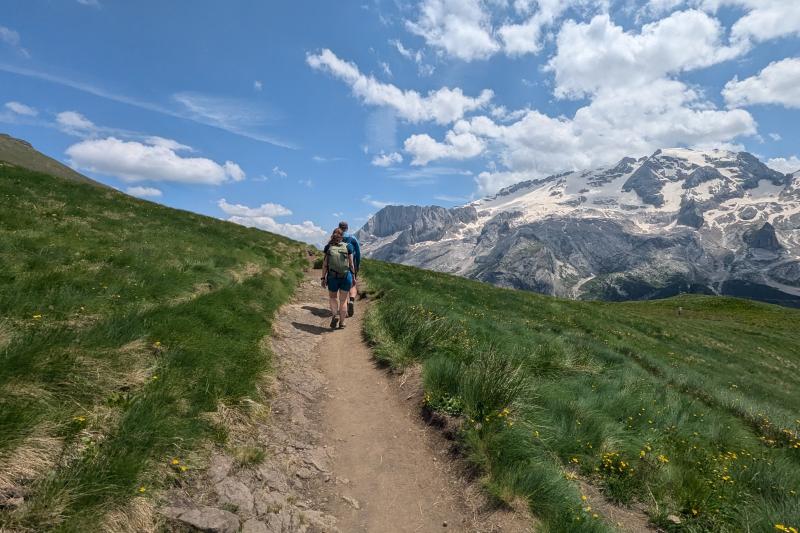

Iconic Sights of the Dolomites

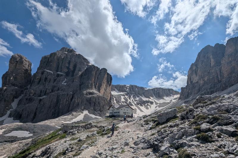
Rifugio to Rifugio Hiking

Culinary Highlight

Challenging Terrain

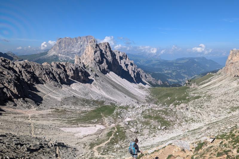
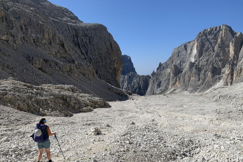
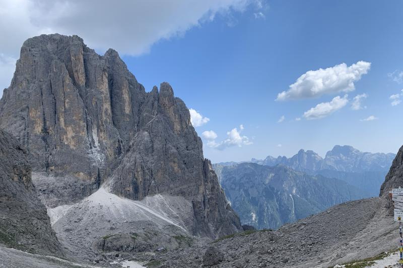
Rugged Landscape

World War I Historical Sites
The Alta Via 2 Hiker’s Route leads hikers through iconic corners of the Italian Dolomites, including a crossing of the famous Sella Group (mostly famous for the Sella Ronda ski circuit), winding around (but not on) the glaciated slopes of the Marmolada and traversing the expansive terrain of the otherworldly Pale di San Martino Natural Park. Our twist on the classic Alta Via 2 itinerary avoids some of the most technical terrain, making it accessible, although still challenging, for experienced and sure-footed hikers who are free from vertigo and who do not have a fear of heights.
Along the way, hikers immerse themselves in a full Dolomites hiking adventure, enjoying excellent Italian hospitality, consuming heaps of delicious Italian food, and sleeping in authentic and comfortable mountain huts, called rifugios.
Note: The Alta Via 2 is recommended in many forums as a less busy alternative to the Alta Via 1, which is the easiest multi-day hike in the Dolomites. However, we consider this some of the worst, and most dangerous, advice the internet has to offer on trekking in the Dolomites. The pure Alta Via 2 route is a true alpine challenge, with multiple via ferrata sections, exposed terrain for hours on end, and some very long days. Our version of the Alta Via 2, the Alta Via 2 Hiker’s Route (self-guided hike), avoids the most technical and intense sections of the Alta Via 2 while preserving the highlights and experience of the classic trail, exiting at Val Canali before the route gets unbearably exposed for most hikers. The routing used for the Alta Via 2 Hiker’s Route does make the Alta Via 2 more reasonable and enjoyable for strong hikers with experience and confidence in alpine terrain, but even with these modifications, there is still some exposure and challenging terrain on this route, making it the most technical hut-to-hut hiking itinerary that we offer in the Dolomites. This route does not require any specialized via ferrata or climbing gear.
For a less challenging
experience, check out our other Dolomites Hut-to-Hut Hiking itineraries:
Alta Via 1
(easiest, but not easy)
Best of the Dolomites Trek (challenging, but not as challenging)
The terrain in the Dolomites is rugged. Every year, we have customers who are surprised and unprepared for the challenges presented by this rugged terrain. Read our Blog post on Trekking in the Dolomites for more information to help you decide if trekking in the Dolomites is right for you.

Location
Dolomites, Italy

Airport
Venice, Italy

Season
mid-July to mid-September

Responsible Travel Score
GO Hike the Alta Via 2 Hiker's Route
Alta Via 2 Hiker's Route Self-guided Itineraries
Condition
Difficulty
Condition
Difficulty
Condition
Difficulty
More Tour Photos from our Facebook Album


